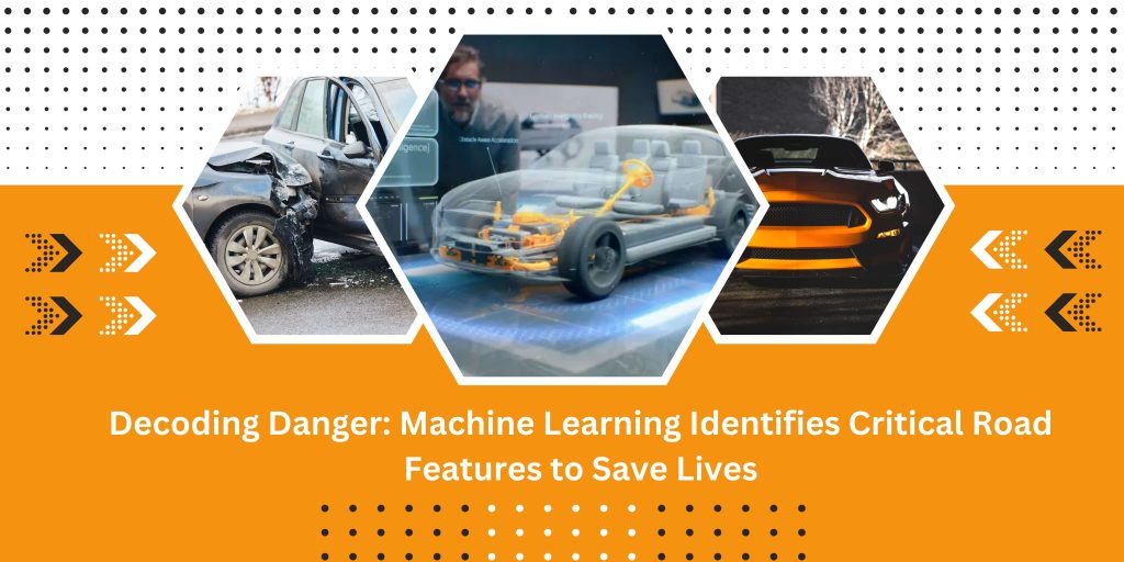
Every year, road accidents claim countless lives and leave many more injured. Improving road safety is a global challenge, but a fascinating new study led by the University of Massachusetts Amherst and Egnatia Odos, Greece, shines a light on how machine learning can unlock important insights.
Machine Learning Decodes Crash Hotspots: This research, titled “Decoding Danger: Machine Learning Identifies Critical Road Features,” analyzed a massive dataset encompassing 9,300 miles of roads and 7,000 locations in Greece. By crunching data on over 60 road features, machine-learning models pinpointed critical factors associated with high-accident zones.
The Culprits Revealed: So, what makes a road section dangerous? The study identified several key culprits:
- Sudden Speed Limit Changes: Abrupt jumps in speed limits confuse drivers and create risky situations.
- Missing Lane Markings: Ambiguous lane definitions increase the likelihood of collisions.
- Road Design Flaws: Poor design choices, like inadequate guardrails or sharp curves, contribute to accidents.
- Pavement Damage: Cracks and other pavement issues can impact vehicle handling and lead to crashes.
- Incomplete Signage: Missing or unclear signs leave drivers unprepared for upcoming hazards.
Beyond Greece: Global Implications: Though conducted in Greece, the researchers believe these findings hold global significance. While specific road designs might differ, the identified features like speed limit changes and missing signage likely contribute to accidents worldwide.
Turning Insights into Action: This research isn’t just about understanding the problem; it’s about finding solutions. The potential impact is vast:
- Decades of Data, Enhanced Predictions: Integrating decades of road data into models can create even more accurate crash risk predictions.
- Targeted Safety Measures: Identifying and addressing specific dangerous features can significantly improve road safety outcomes.
- Real-Time Monitoring: Imagine AI-powered systems using these insights to monitor road conditions and send real-time alerts to drivers and authorities.
A Roadmap for Safer Roads: The researchers envision several steps:
- AI-powered Real-time Monitoring: Training AI models to identify danger zones in real-time can warn drivers and guide first responders.
- Addressing Identified Features: Prioritizing improvements based on the identified critical features can significantly reduce crash risks.
- Collaboration is Key: Greek officials and international communities working together can implement these safety measures based on the research findings.
Quantifying the Impact: While attributing a specific percentage reduction in death rate solely from this study is challenging, similar projects using machine learning models have demonstrably reduced crash rates by 10-15% in targeted areas. Considering the wider scope and nature of the identified features, the potential global impact could be even more significant.
Beyond Numbers: The impact goes beyond numbers. Imagine lives saved, families protected, and the economic burden of accidents lessened. This research offers a crucial step towards achieving that vision.
Conclusion: This study identified critical road features associated with high-accident zones, paving the way for targeted safety improvements. The potential to significantly reduce crash rates and save lives is evident, with initial estimations suggesting reductions of 10-15% or even more globally. By embracing machine learning and collaborative efforts between researchers, engineers, and policymakers, we can translate these findings into real-world action, creating a future where roads are safer for everyone.